Experience innovative water solutions like never before

Step into an immersive Virtual Field Trip through Extended Reality (XR) applications and explore real-world field sites showcasing food, land and water systems that sustain millions of livelihoods – all without leaving your screen.

What are Virtual Field Trips?

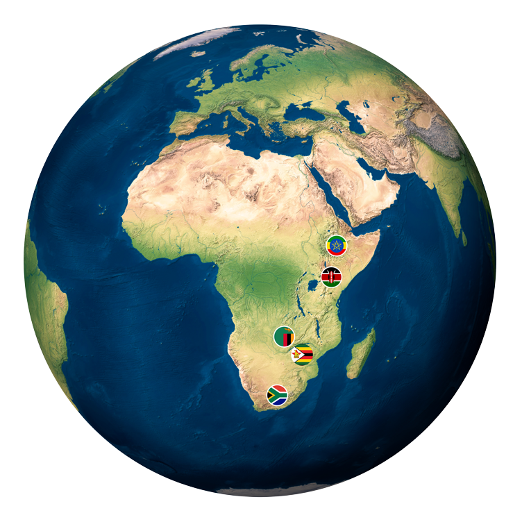
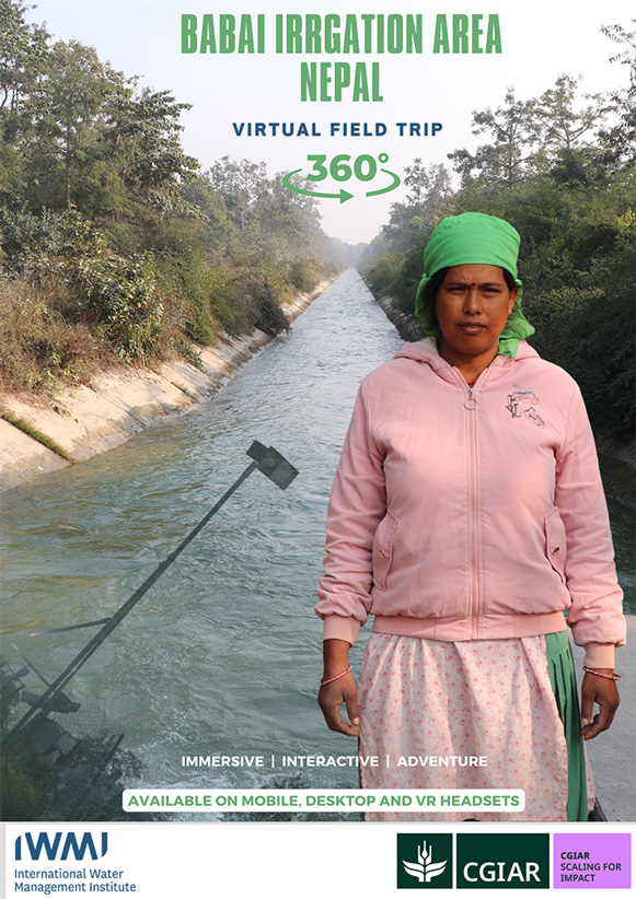
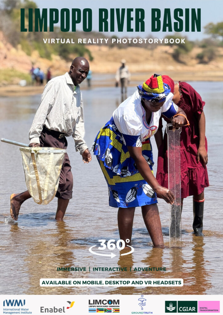
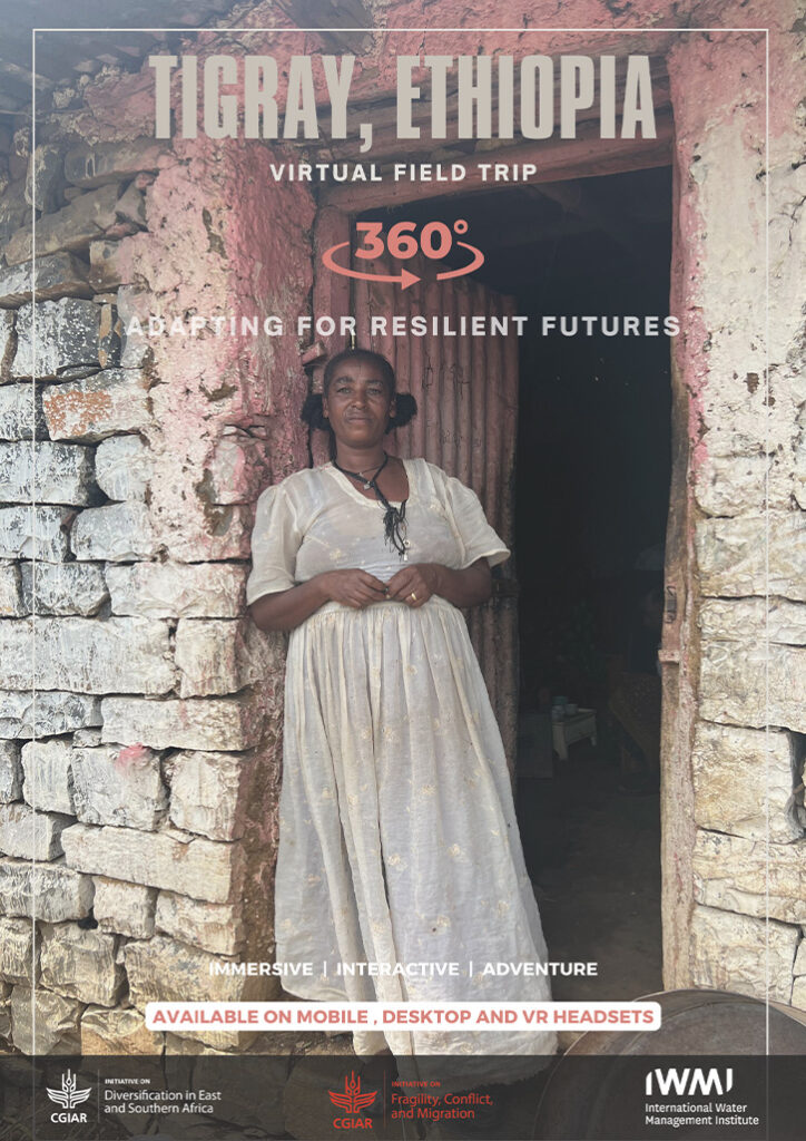
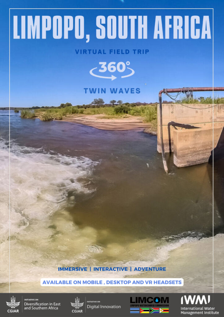
Virtual Field Trips (VFTs) were pioneered in 2023 by the CGIAR Diversification in East and Southern Africa initiative, known as Ukama Ustawi (UU), in collaboration with the International Water Management Institute (IWMI). VFTs allow people to take a journey to real-world sites without the need for physical travel. They were developed to connect stakeholders, investors, and researchers with the on-the-ground realities of Africa’s agrifood systems where work is being implemented – amplifying smallholder farmers’ voices, reducing environmental impact, and increasing visibility into critical water and land management practices across remote, rural, hard-to-reach and fragile regions.

Coming Soon

Scaling Water Futures - Babai Irrigation Area, Nepal

This VFT showcases the scaling model of a flow sensor innovation in the Babai Irrigation Area, Nepal. It examines the systemic enablers of scalability including: policy frameworks, financial mechanisms, public-private partnerships, farmer capacity development, and service delivery models. Through this immersive platform, we seek to inform evidence-based scaling strategies and foster cross-regional learning among global agricultural stakeholders.

Latest Virtual Field Trips (VFTs)

VR Photostorybook - Limpopo River Basin - Southern Africa

The VR photostorybook showcases an immersive storytelling experience that brings global audiences into the field directly into the context of those driving citizen science in the Limpopo River Basin. By combining 360° photography, narration, and interactive text, we aim to humanize the science and spotlight the people behind the data.

Adapting For Resilient Futures - Tigray, Ethiopia

Showcases research practices and activities on innovative methodologies that aim to enhance data quality in Internally Displaced Persons (IDP) host communities for vulnerability analysis to help inform anticipatory action in fragile and conflict-affected settings of Ethiopia. Drone footage is used to provide an overview of the camp and hosting community setting, but also in the science of remote sensing to create orthomosaics for hazard mapping through geospatial analysis. GPS transect walks are captured during a citizen science community mapping exercise and individual testimonies about the impacts of displacement on hosting communities tell the story of the science through visual aids.

Twin Waves - Limpopo, South Africa

Illustrates the Limpopo River Basin, shared by four SADC Member States Botswana, Moçambique, South Africa and Zimbabwe and has a total catchment area of approximately 408 250 km2. The Limpopo River travels a distance of over 1 750 km from the confluence of the Marico and Crocodile Rivers in South Africa to the Indian Ocean at Xai Xai, in Mozambique. The VFT captures the Olifants River, the weir, water level instrument, fish gauge meter, e-flow edge as well as smallholder farms which use canal and drip irrigation.
0
VFTs launched in 2023 under the Ukama Ustawi initiative in East & Southern Africa.
0 °
Immersive, interactive VR experiences offer a 360-degree view of agriculture and water systems.
0
Virtual Reality experiences developed across the globe representing vital water and agricultural systems.
0
Countries reached with fieldwork sites successfully documented. Ethiopia / Kenya / South Africa / Zambia / Zimbabwe